
Menu
Harnessing Artificial Intelligence and Machine Learning (AI/ML) for wildfire preparedness and response
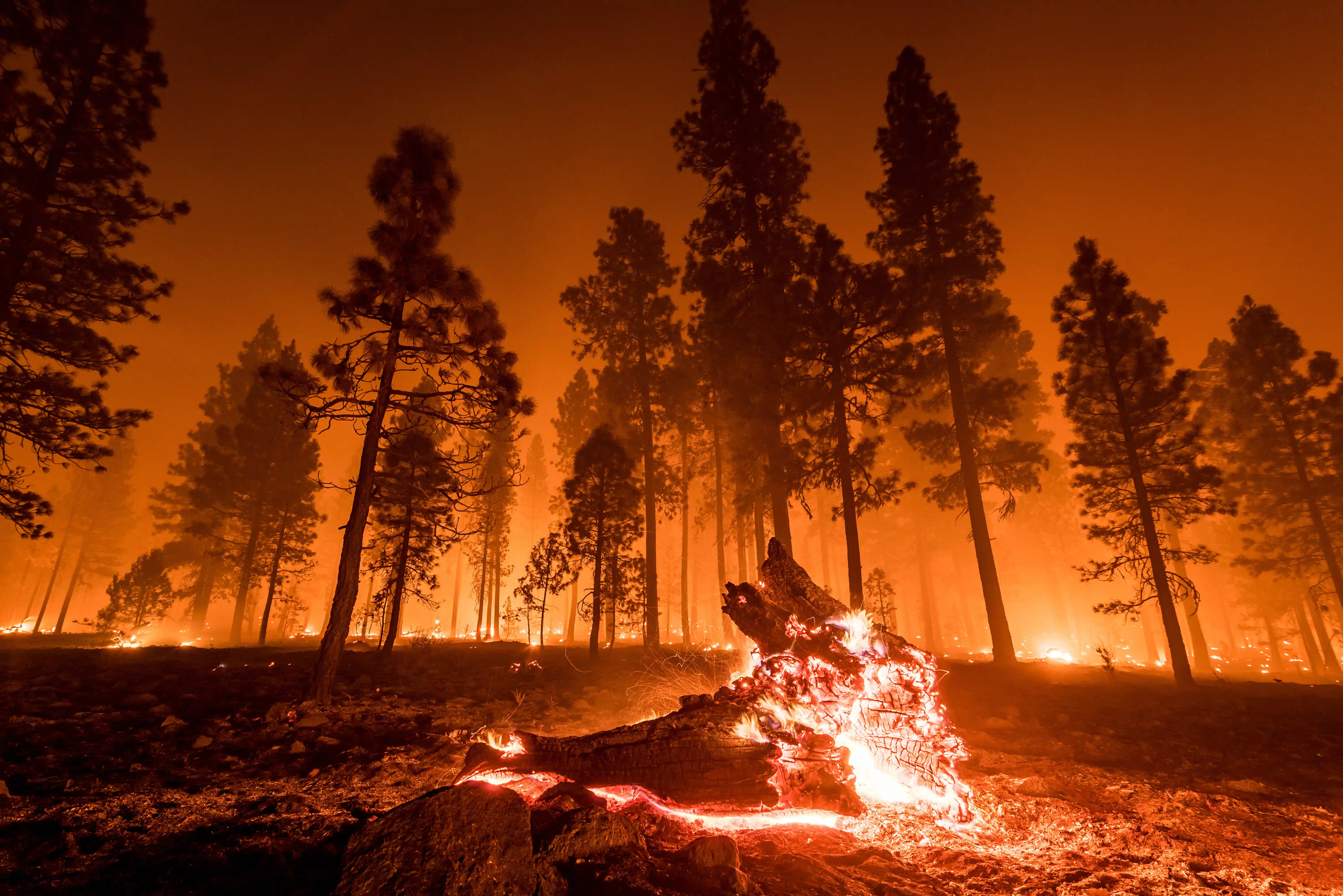
Wildfires are increasing in intensity under climate change (Boujeni et al., 2024), challenging disaster preparedness and resilience worldwide. Traditional physics-based models and statistical methodologies offer only partial insight into the intricate and nonlinear dynamics of fire behavior. Physics-based methods rely on mathematical formulations of heat transfer, combustion, and fluid dynamics while statistical approaches like Multi-Criteria Decision Analysis (MCDA), point pattern analysis, and fuzzy logic use expert-informed matrices to estimate fire probability (Liu et al., 2024). Yet, wildfires are inherently stochastic (Buch et al., 2023), driven by complex feedbacks of fuels (such as vegetation and oxygen), weather, and topography, making deterministic predictions insufficient.
Recent advances in artificial intelligence (AI) and machine learning (ML) offer new opportunities in natural disaster management, especially in wildfire monitoring and response. Unlike traditional physics-based or statistical models, which can be limited by their reliance on simplified assumptions and slow computational performance, AI/ML systems can dynamically integrate heterogeneous datasets (such as satellite imagery, sensor networks, meteorological forecasts, and much more), increase the speed at which multiple sources of high-resolution input is computed, and operate in near real-time, shifting the paradigm of wildfire management.
AI has proven particularly valuable in the pre-fire stage, which is defined by risk assessment and fire mitigation to prevent and prepare for wildfires. WiSEFire (Wildfire Surveillance and Estimation), a proposed AI framework for efficient and sustainable wildfire monitoring and prediction, demonstrates how AI can integrate multiple data modalities, such as IoT sensors, satellite imagery, and meteorological inputs, for improved monitoring, combining Random Forests (RF) for feature analysis with Gated Recurrent Units (GRUs) for time-series wildfire prediction (Retna Raj et al., 2025). RF enables the assessment of environmental variables such as humidity, wind speed, and vegetation type to classify fire-prone areas, while GRUs address the vanishing gradient problem of recurrent neural networks, allowing accurate forecasting of fire spread dynamics over time (see Appendix, Fig. 2). Advances in remote sensing and multispectral imagery further reduce false positives and enhance monitoring in low-visibility environments, such as dense forests or nighttime.
AI/ML is also critical in processing, scaling, and optimizing wildfire modeling; mixed attention mechanisms and fast-robust non-maximum suppression (NMS) have improved smoke detection capabilities with reduced computational overhead, which is crucial for real-time processing (Retna Raj et al., 2025). In addition, AI-powered Unmanned Aerial Vehicles (UAVs), commonly known as drones, have significant potential in fuel monitoring and management. Traditionally, remotely sensed fuel models relied on ground-truth datasets and were constrained by canopy cover and revisit times of satellites. By leveraging convolutional neural networks (CNNs) on UAV-derived orthomosaics, researchers have classified trees and vegetation into multiple fuel types, significantly improving model performance in terms of understanding risk of fire ignition and pattern of fire spread (Boroujeni et al., 2024). This innovation facilitates targeted fuel reduction and forest management practices, reducing ignition probability and fire intensity, with real-time AI-driven analysis only improving as UAVs evolve.
Beyond the pre-fire stage, AI/ML also improves active-fire detection and modeling. Deep learning (DL) techniques, particularly deep neural networks (DNNs), have outperformed traditional approaches in recognizing flames, smoke plumes, and vegetation anomalies. ALERTCalifornia, California Department of Forestry and Fire Protection (CAL FIRE) and University of California San Diego’s public safety program, uses over 1,100 high-definition, pan-tilt-zoom AI-powered cameras, equipped with near-infrared night vision, to detect smoke and other early indications of fire (Wood, 2025). These cameras can perform 360-degree sweeps approximately every two minutes, providing high-quality visuals of up to 60 miles on a clear day and up to 120 miles on a clear night (PreventionWeb, 2023). When this robust sensing system detects potential fire, it automatically alerts the respective local fire department via text message; thus far, the system had correctly detected over 1,200 confirmed fires, beating human 911 callers roughly one-third of the time, with particular usefulness at night (Carlton, 2025). This shows the potential that AI has to significantly reduce response times and minimize fire spread.
In addition, systems combining supervised and unsupervised methods to process video feeds, thermal imagery, and real-time satellite data can be embedded in UAVs, allowing for autonomous wildfire detection and front-line tracking (Boroujeni et al., 2024). Trajectory optimization and path planning in UAV fleets can also help with active-fire monitoring; by optimizing drone flight paths, AI ensures that aerial assets collect maximum situational data with minimal fuel and time costs.
Agent-based algorithms and reinforcement learning (RL) can even help with suppressing active fires. Multiple intelligent agents, such as AI-powered UAVs or remote sensors, assess conditions, share information, and coordinate suppression strategies. For example, in distributed multi-agent reinforcement learning environments, UAV fleets can be trained to communicate with each other and move in a 2D lattice, where trees are located at the nodes and the ignition state of each tree varies in a ternary manner (healthy, fire, burnt). The drones then move toward boundary trees on fire and deploy fire retardants as needed (Boroujeni et al., 2024). Multi-Agent Deep Q-Networks (MADQN) help the drones move faster by generalizing in partially observed environments.
In addition to faster input processing, which increases the lead time for disaster management, AI also enhances strengthens early warning systems (EWS). Disaster monitoring can be layered with a combination of the LangChain framework and large language models (LLMs) to deliver geographically relevant and context-specific alerts and evacuation instructions (Faiaz and Nawar, 2025), unique to the local population’s needs, including sending alerts in different languages or dialects. By combining LLMs with LangChain, new AI disaster monitoring and management models can overcome the limitations of traditionally slow and inadequate warning systems and instead allow real-time, customized guidance, especially in highly risky areas. The Nepali government has started piloting an AI-powered EWS named Spatiotemporal Analytics, Forecasting and Estimation of Risks from Climate Change Systems (SAFE-RISCCS) for landslides; once a certain threshold of probability is reached that a landslide will affect a certain area, residents are alerted to evacuate via automated text messages (France24, 2025). This system is transferrable to wildfire EWS, as well as any other forecastable natural disaster, and transforms disaster management from reactive to proactive by minimizing delays in communication.
AI/ML can also support evacuation planning. By capturing aerial imagery and conducting rapid surveys, UAVs can be used to assess fire-affected areas and gather real-time data on road conditions, traffic congestion, and potential hazards and ultimately identify safe evacuation routes, determine evacuation center capacity, and coordinate emergency response efforts (Boroujeni et al., 2024). This not only reduces response time but also minimizes the risks associated with chaotic or delayed evacuations.
AI is increasingly used to assess damage and monitor post-fire ecological restoration. UAVs equipped with computer-vision Structure-from-Motion (SfM) algorithms provide multispectral data to evaluate burn severity across landscapes. Compared to airborne laser scanners (ALS), UAV-SfM systems offer more accessible and cost-effective monitoring while maintaining high resolution (Boroujeni et al., 2024). Machine learning techniques applied to UAV LiDAR-derived variables enable supervised classification of post-fire land cover and severity indices, producing accurate maps of burn scars and ecosystem damage. For example, UAVs can be embedded with object detection systems such as You Only Look Once (YOLO), which segments the images into grids (Chandler, 2025). Each grid cell is scanned for structural anomalies, environmental disruptions, and evidence of fire-related destruction (see Appendix, Fig. 6). This AI-powered technology simplifies the assessment process and cuts down the time required for traditional door-to-door inspections, enabling faster deployment of resources for recovery and reconstruction.
In addition to damage assessment, AI/ML has been instrumental in ecological restoration efforts. Recent studies have employed deep learning frameworks for segmentation of burnt areas in forests from UAV imagery, which outperform satellite-based damage assessments in resolution and accuracy. Beyond damage mapping, UAV-based monitoring enables researchers to track forest recovery processes, such as vegetation regrowth and soil stability (Boroujeni et al., 2024). These tools help identify which ecosystems require intervention and which are regenerating naturally, allowing for optimized allocation of restoration resources. In the longer term, AI-guided ecological monitoring supports adaptive forest management strategies that reduce vulnerability to future fires, closing the loop in the wildfire management cycle.
As fire seasons lengthen and intensify, the value of AI/ML will hinge less on its technical capacity alone and more on how effectively it is embedded into policymaking, disaster risk and reduction (DRR) strategies, governance structures, emergency protocols, and local decision making. Key questions remain about equity, accountability, and trust: Who has access to these predictive tools and who will these tools prioritize? How are false alarms or missed detections managed (and how can civilians be trained to trust AI/ML after such events)? And in what ways can AI support local firefighters, indigenous knowledge holders, and frontline communities? Addressing these questions will determine whether the full potential of AI/ML is unlocked to best serve the communities it is intended to serve.
Scroll to the bottom to view full PDF report, which includes all footnotes, figures, images, and more